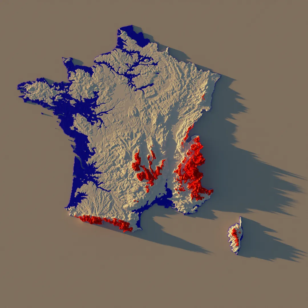
This was a very fun project, took me a day, but basically played around with height map from satellite and rendered different countries, sometimes with different style. The France picture is actually colored with the heights and some threshold value.
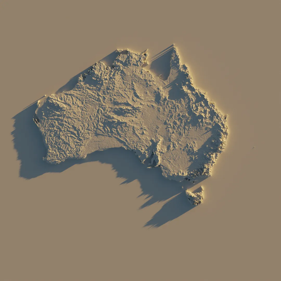
A map of Australia
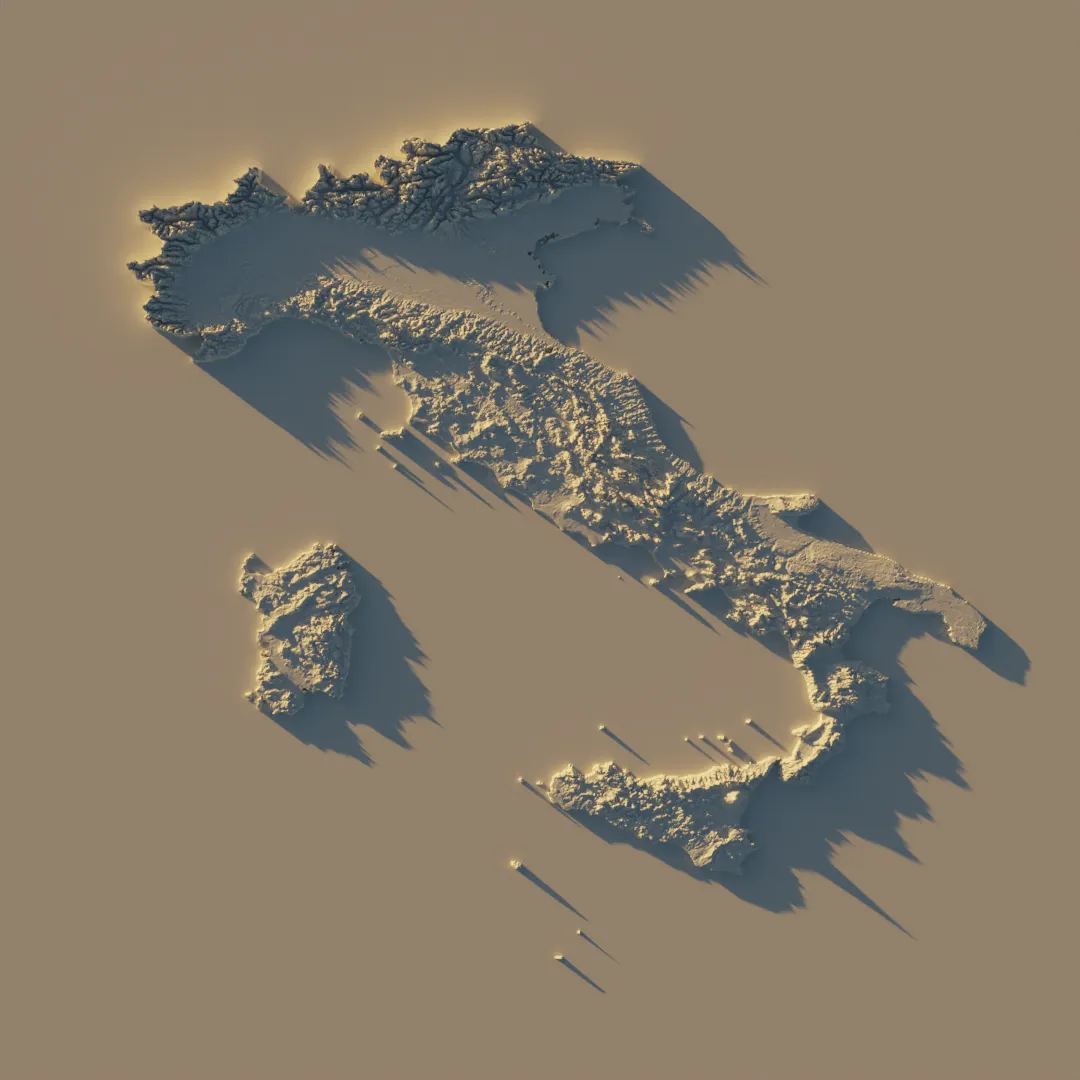
A map of Italy
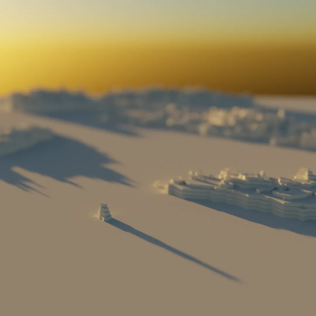
A map of Italy seen from sea level